Gunwi-gun Palgongsan Provincial Park (팔공산도립공원(군위군))
)")

- addr1
Namsan-ri, Gunwi-gun, Gyeongsangbuk-do
- title
Gunwi-gun Palgongsan Provincial Park (팔공산도립공원(군위군))
- homepage
- overview
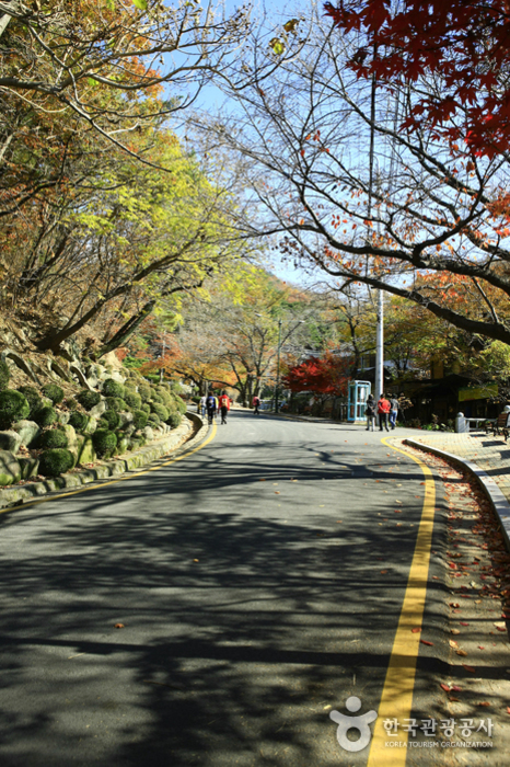
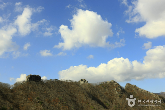
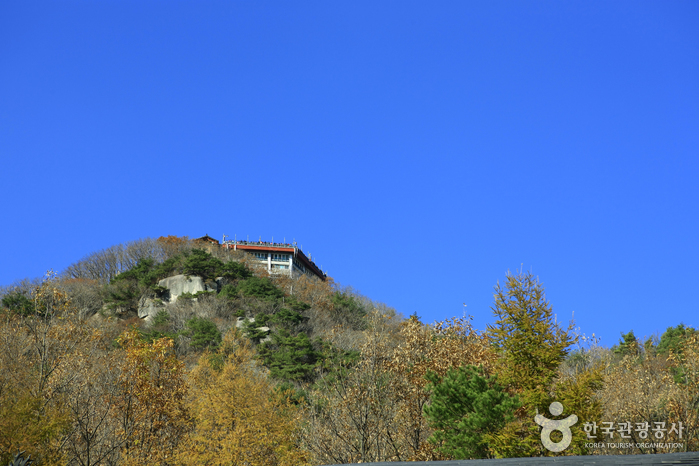
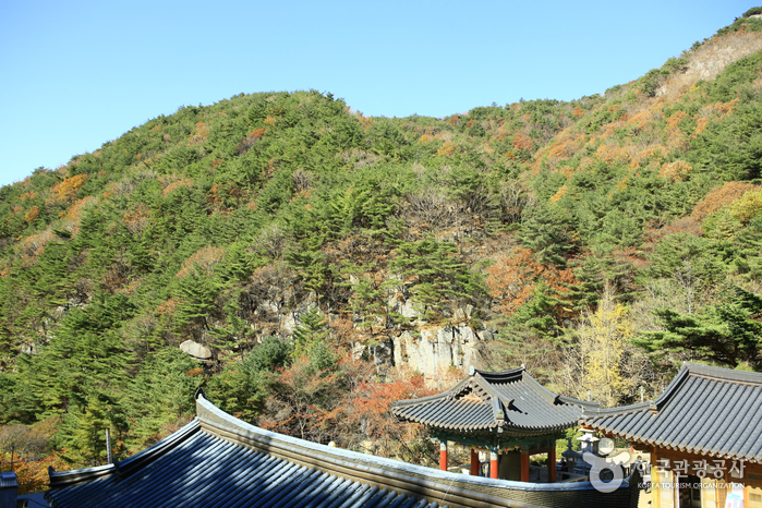
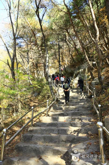
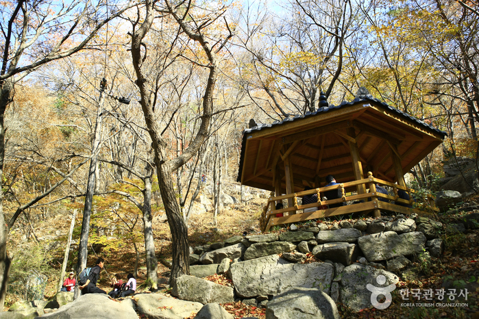
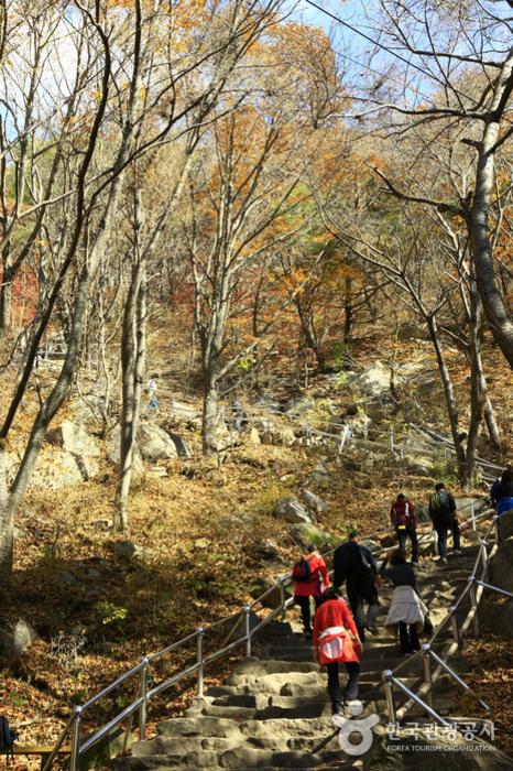
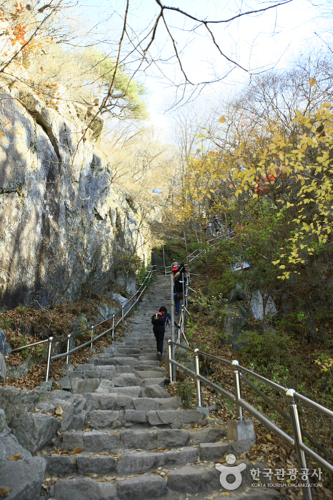
Palgongsan Mountain is located south of the Taebaek Mountain Range where the Nakdonggang and Geumhogang Rivers meet. The mountain stands high and stretches out like a folding screen. Near the top of the mountain, the granite protrudes in an odd shape creating a tall, grand geographical feature of the mountain. Furthermore, every valley is decorated with an exquisite rock face and lush forest adding to the mountain's reputation. Palgongsan Mountain was designated as a provincial park in May 1980. The mountain has many ancient temples and historical sites such as the Gatbawi Stone Buddha, Wonhyosa Temple, Cheonseongsa Temple and Bulgulsa Temple.
- infocenter
• 1330 Travel Hotline: +82-2-1330
(Korean, English, Japanese, Chinese)
• For more info: +82-54-880-8300 - restdate
* Subject to closure due to adverse weather conditions.
- Mountain Not Access Period : Seasonal Forest Fire Prevention Period
Spring: March 2 - April 30
Autumn: November 1 - December 15
* Subject to change based on weather advisories, snow/precipitation levels, and other local conditions. - Restricted Mountain Areas : Chilgok-gun: Witsandang - Gasansanseong Fortress, Morajae - Gasanbawi Rock, Hakmyeong-dong (Dumusil) - Gasansanseong Fortress (Namporu), Yeorijae - Namporu - East Gate
Yeongcheon-si: Sudosa Temple- Palgongpokpo Falls - Domajae
Gyeongsan-si: Peokjeong (Gatbawi parking lot) - Neupaejae - Areas Open to the Public : Gyeongsan-si to Chilgok-gun: Gwanbong - Seonbonjae - Neupaejae - Domajae - Yeombulbong Peak - Dongbong Peak - Birobong Peak - Gasanbawibong Peak - Mulbulsan - Hantijae - Chikibong Peak - Gasanbong Peak - Gasanbawi Rock
Chilgok-gun: Jinnammun Gate - Cheonjusateo - Yongbawi Rock
Yeongcheon-si: Sudosa Temple- Gongsanpokpo Falls - Jinbulam - Dongbong Peak, Baekheungam - Jungangam - Neupaejae
Gyeonsan-si: Seonbosa Temple - Yaksaam - Yongdeoksa Temple- Gwanbong Peak - Hiking Course : Palgongsan Mountain main course: 27.2 kilometers, 14 hours
Eunhaesa Temple Course 1: 15.4 kilometers, 8 hours
Gatbawi Course 1: 11.5 kilometers, 6 hours
Gatbawi Course 2-1: 2.1 kilometers, 1 hour 10 min
Gatbawi Course 2-1: 2 kilometers, 1 hour
Chisangyegok Course 1: 8.5 kilometers, 6 hours
Gasansanseong Course 1: 4.7 kilometers, 2 hour 10 min - Tour Course Information : Tour Course (1 day)
1. Daegu Airport - Palgongsan beltway - Gasansanseong Fortress - Samjonseokgul Cave - Daeyulli - Ingaksa Temple - Janggokri Recreational Forest - Hwasansanseong Fortress - Daegu
2. Daegu Airport - Yeongcheon Eunhaesa Temple - Ingaksa Temple - Gyeongbuk Neunggeum Juice Factory - Samjonseokgul Cave - Daegu
Drive Course: Daegu - Pagyesa Temple - Palgongsan beltway - Hanti Rest Stop - Bugye Namsan-ri - Daeyulli (20 kilometers, 30 min) - Available Facilities : Campsite, rest area, picnic area, volleyball court, handball court, drinking fountain, cooking area, parking lot, etc
- Facility Utilization Fees : [Campsite]
Individuals: Adults 1,000 won / Teenagers 600 won / Children 300 won
Group: Adults 600 won / Teenagers 400 won / Children 200 won
* Additional fee charged for overnight use (Adults 400 won / Teenagers 200 won / Children 100 won)
* Groups: 20 people or more - Restrooms : Available
(
[bo_table] => datagokr_Eng
[page] => 125
[sca] => Tourist Attractions
[sod] => desc
[sop] => and
[sst] => wr_datetime
[wr_id] => 714
)
- Gunwi-gun Palgongsan Provincial Park (팔공산도립공원(군위군))
-


